Colinton Tunnel
Colinton Tunnel
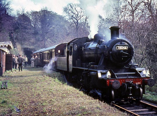


Goods traffic was the driving force behind the Caledonian Railway’s Balerno branch, a six-mile loop off its Edinburgh-Carstairs main line. Strong support for the scheme came from the area’s farmers and mill owners – notably Henry Bruce – who could see the clear advantages offered to their businesses. However objections were raised by the Heritors of Colinton and Currie who feared the loss of land.
The Caledonian won the day. Royal Assent was granted in 1870, but it was 1st August 1874 before the first passenger train troubled the route’s 28 bridges, several of them crossing the Water of Leith. Contractor for the line was Messrs Brand of Glasgow, the price tag being £134,000. The single track – which suffered from steep gradients, tight curves and a 20mph linespeed – was interrupted by only one passing loop at Currie Station.
The branch was used by the Caledonian as a test bed for improved block telegraph and signal interlocking equipment, a system which – the company hoped – would help to restore its ailing safety reputation following a number of serious accidents. Its installation was welcomed by Colonel Rich when he inspected the line for the Board of Trade a week before it opened.
In the 1920s, bus services secured a foothold, tempting travellers away from the railway. Although occasional excursions still ran, regular passenger trains ended in 1943. Stone, salt, paper, textiles and snuff continued to be carried by the branch’s busy goods service but this ended in October 1967 following the closure of Kinleith paper mill. The track was lifted a year later and the alignment has since been converted into a walking and cycling route.
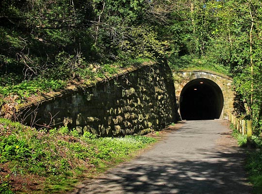
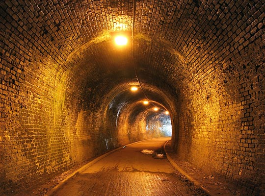
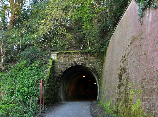
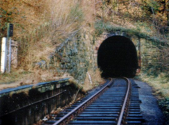
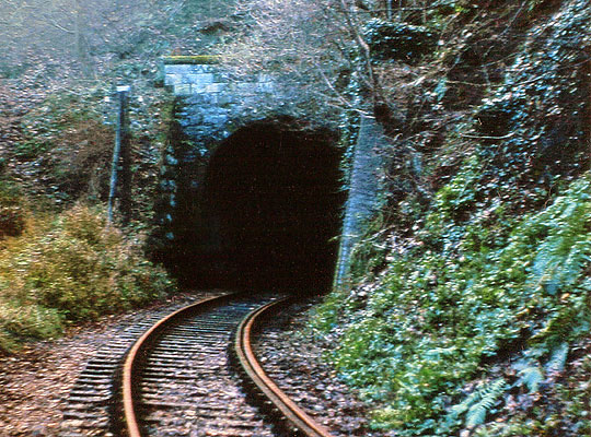
Most significant of the branch’s numerous structures – all things being relative – was a tunnel located just beyond the platform of Colinton Station. Cut through a rocky spur on the west side of the Water of Leith, its length is a modest 150 yards although its tight curve of around 8 chains radius gives the impression of it being longer.
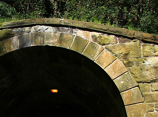
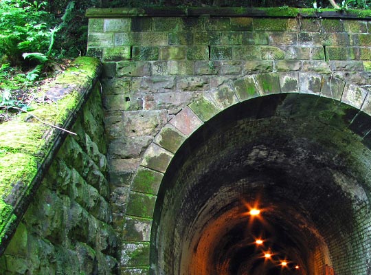
The south portal is tiny – stone-built and with a headwall of just 8 inches above the voussoirs of the arch ring. The east side of it drops downwards to meet the rising cutting slope. A row of copings runs along the top. Parallel with the trackbed on the west side is a lengthy retaining wall, above which was a path – known locally as Jacob’s Ladder – used by villagers to reach the station.
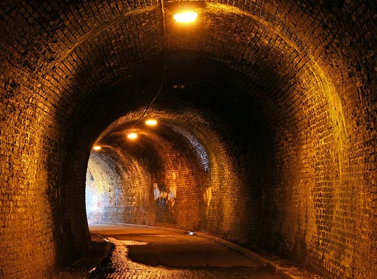
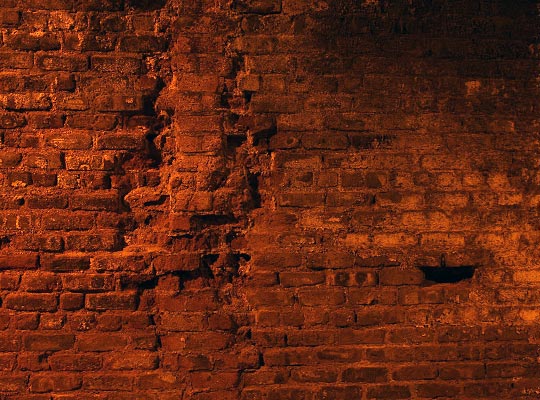
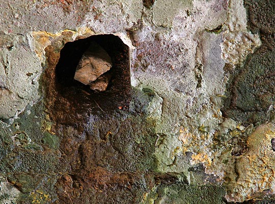
Inside, the tunnel is entirely brick-lined and horseshoe-shaped in profile. Its condition is generally fair, but the brickwork is affected by localised spalling, open joints and dampness at the crown. Patch repairs have been carried out over the years, including some concrete infilling. Weepholes allow ground water to escape. As part of its cycle path conversion, lighting has been installed and a tarmac surface provided.
Also stone-built, the portal at the north end has a higher headwall to hold back the steep cutting face. A short triangular wing wall on the east side is overshadowed by a long, stepped retaining wall opposite, erected in brick.
(George Robin’s photo, taken from Wikipedia Commons, is used under this Creative Commons licence.)


