


Wilden Viaduct
Wilden Viaduct
The 40-mile Severn Valley Railway, authorised in August 1853, established a connection between Shrewsbury and the Oxford Worcester & Wolverhampton Railway south of Hartlebury, avoiding the West Midlands’ busy network. Further Acts were sought in 1855 to approve alignment changes.
Engineered by John Fowler, the line was constructed for the SVR by Peto Brassey & Betts, ground being broken towards the end of 1859. Formal opening took place on 31st January 1862, with the first public services running the following day. An additional section of route, linking Bewdley to Kidderminster, was inaugurated on 1st June 1878.
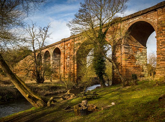
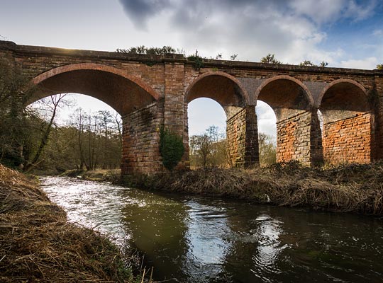
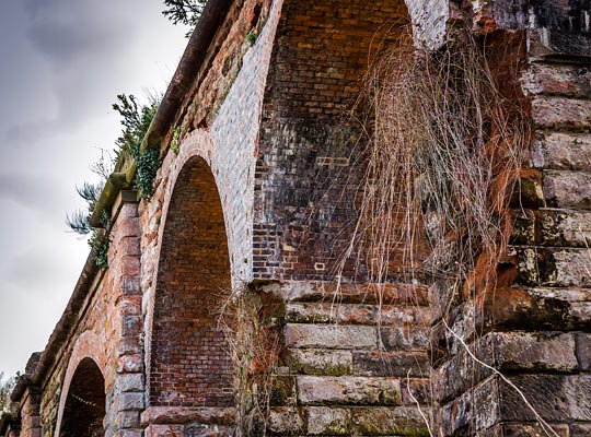
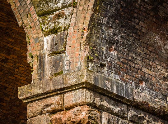
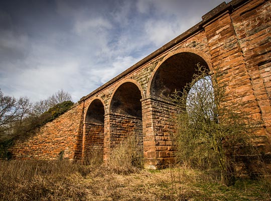
On the eastern outskirts of Stourport-on-Severn, the line crossed the River Stour and its associated water meadows on a viaduct 60 feet in height, extending for 80 yards. Built for two tracks, it comprises fives spans, four of 25 feet and a fifth – second from the east end – of 55 feet, the latter being a segmental arch over the water, having a rise of about 14 feet and set on a skew of 30 degrees. Either side of this span are substantial triangular piers, each benefiting for a pair of buttresses on their longest outside face.
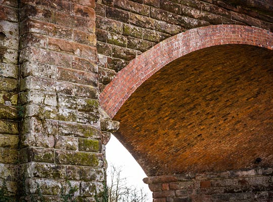
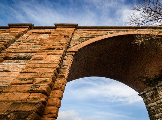
Red sandstone was used for most of the construction work, thought to have been sourced from a rock cutting 300 yards to the east. The arches are brick, six rings being used for the river span and four elsewhere. These are supported by piers with projecting sandstone imposts immediately below springing. A low parapet wall protects the deck.
At both ends of the viaduct are large abutments with impressive curved wing walls to retain the lengthy approach embankments.
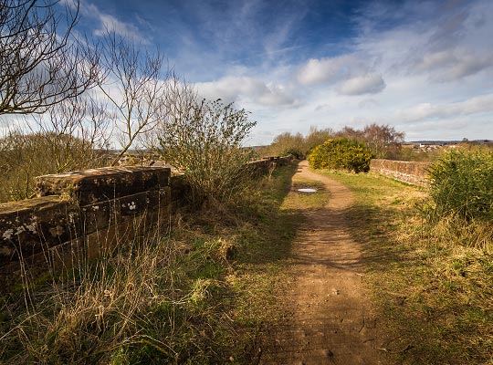
The line over the viaduct saw its last traffic in 1978 but official closure did not come until 1st October 1980. The track was lifted the following January, since when a footpath has been opened across the viaduct’s deck.
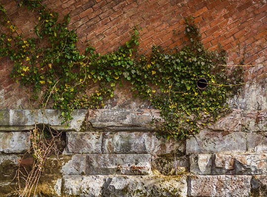
In terms of condition, the structure presents two contrasting faces. The south elevation is generally fair; the other however has suffered from a localised loss of stonework affecting the spandrels on the west side of the river. These areas have been patch-repaired in engineering brick, but in no way sympathetically. The north face of the piers, close to springing, have also deteriorated, together with the inside faces of the river piers. In part, these defects are due to vegetation taking hold.
The structure was awarded a Grade II listing in November 2000.

 Sept 2015