


Pont Burn & Fogoes Burn viaducts
Pont Burn & Fogoes Burn viaducts
County Durham’s rail network saw rapid expansion in the 1840s to serve industries in the hills and valleys at its western side. The Derwent Iron Company was a key driver, owning the upper part of the Stanhope & Tyne Railway and forging a link into Crook where it met the Stockton & Darlington. Thus, a southerly export route for its lime and iron products was established.
In 1858, after the inclines at Hownes Gill were replaced by Thomas Bouch’s outstanding viaduct, the company lobbied for a link northwards from Consett to the Scotswood Bridge over the River Tyne. This was progressed by the North Eastern Railway as an extension of its Lanchester Valley line which had opened to Consett in 1862.
Almost 11 miles in length, the route was surveyed by Thomas Harrison, the NER’s chief engineer and built by Messrs Morkhill & Prudham for £163,000. Robert Hodgson acted as resident engineer. The line climbed 730 feet towards Consett and had a ruling gradient of 1:66.
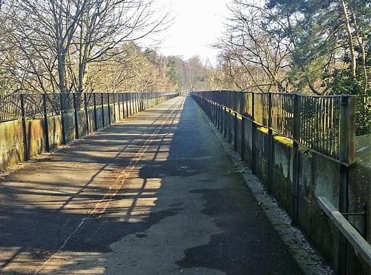
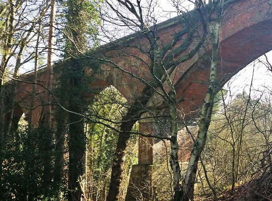
Overcoming the River Derwent and its tributaries required four substantial viaducts. Of these, only one – at Rowlands Gill – was built for two tracks, although Lockhaugh Viaduct, further north, was later widened to provide additional capacity for the unexpectedly high traffic levels. The other two viaducts were located just to the south of Lintz Green Station.
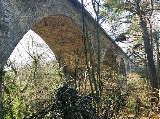
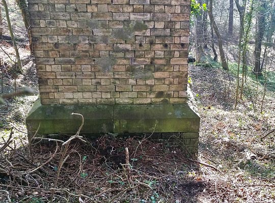
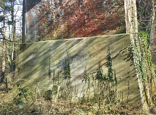
At almost 250 yards, the longest on the line was a ten-span structure over Pont Burn; it was also the highest, reaching 120 feet. Springing off masonry skewbacks, the segmental arches each measure 60 feet in span and comprise eight rings of fire brick. The piers are 5 feet wide at springing level, battering to 8 feet 6 inches at their base. Large stone oversails and copings are incorporated within the parapets.
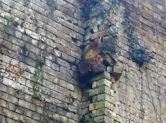
Featuring large stone voussoirs, a tall skewed arch is pushed through the abutment at the north-east end of the viaduct to accommodate a track. Either side of it are brick wing walls topped with dressed stone which rise elegantly to meet the imposts below the arch.
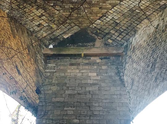
A number of saplings have taken root within the structure’s brickwork, causing localised damage.
On 23rd September 1865, at the height of construction, labourer Thomas Oatley was digging out clay from beneath an embankment for the two brick-making machines. As he did so, the ground gave way, inflicting injuries to his body and a cut to the head which rendered him “insensible” for a considerable time. He was taken to Ebchester where Doctor Bolton tended to him.
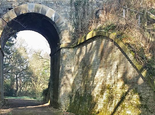
Less than 200 yards further north is a smaller structure over Fogoes Burn. This was built in red brick, featuring six 60-foot segmental arches. The track was carried at a height of 90 feet. The base of one of the piers has been encased in concrete, presumably after cracking or movement had been identified.
Colonel Hutchinson, from the Board of Trade, inspected the Derwent Valley Railway for passenger-carrying purposes in November 1867, although it had already been hauling freight since 18th June. The stations were closed piecemeal – mostly in the mid-1950s – but the route survived intact for goods until 11th November 1963 when the section north of Blackhill closed. The remainder survived until 1982.
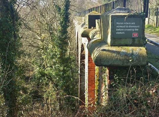
Durham County Council has since developed the route into the Derwent Walk Railway Path whilst the section within Gateshead is now a country park. It all forms part of the coast-to-coast (C2C) route of Sustrans’ National Cycle Network.

 Sept 2016